Log in
All resources
Create a design
40,209 Free Images of Engraved Maps
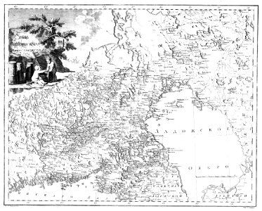
atlas of the russian empire (1800)
atlante veneto (raremaps.com) volume 2
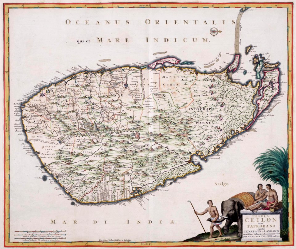
maps of the dutch east india company - sri lanka
1787
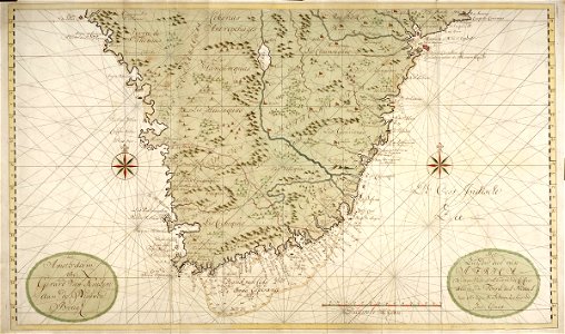
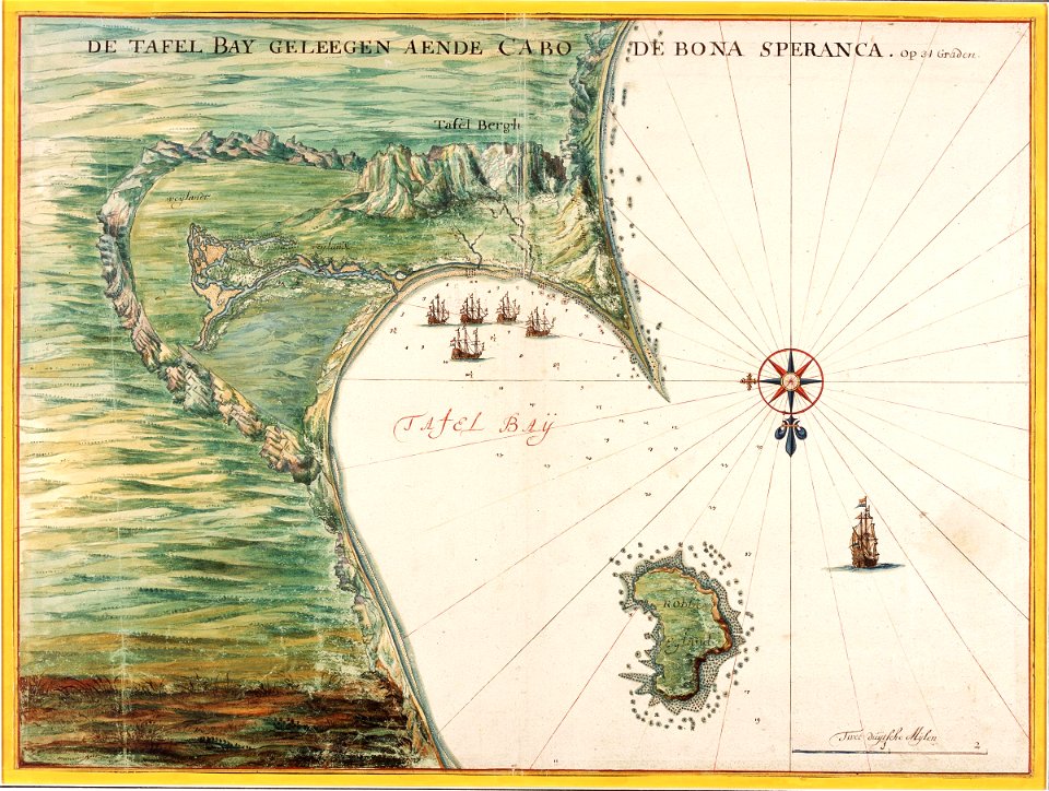
maps of the dutch east india company - south africa
braun & hogenberg
atlante veneto (raremaps.com) volume 1
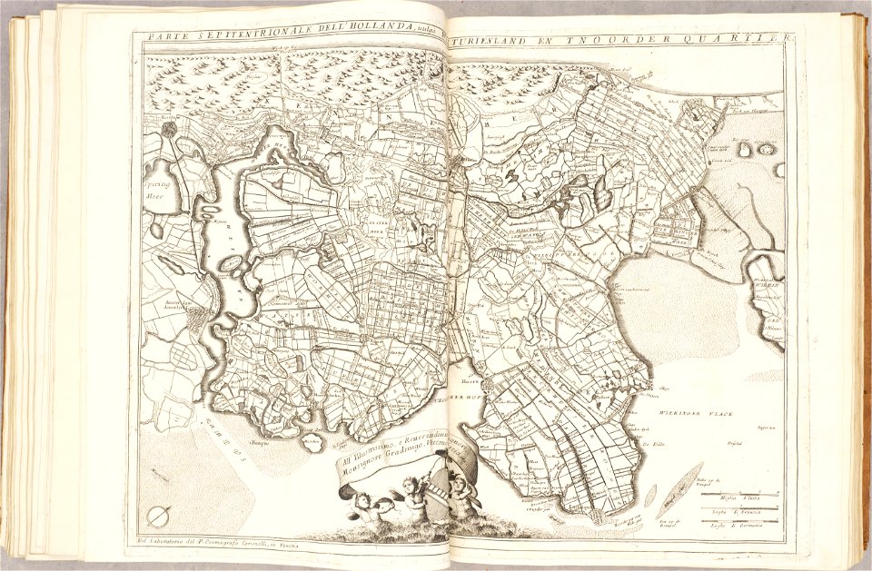
1690s maps of the netherlands
geographical illustrations by coronelli
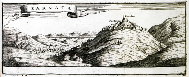
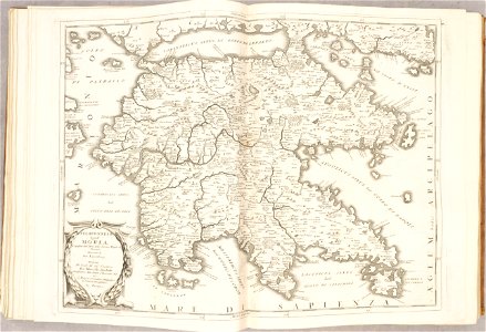
old maps of the peloponnese
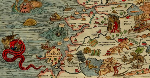
carta marina (details)
sea serpent
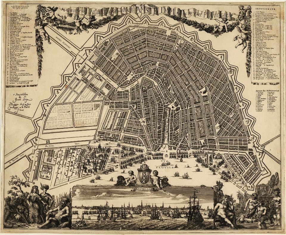
amsterdam in the 1680s
johannes kip
description des principales villes (1690)
old maps of rhodes (city)
geographical illustrations by coronelli
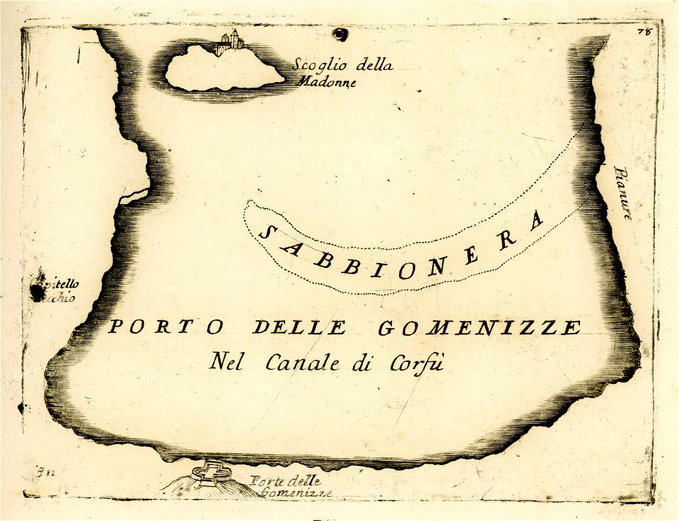
engravings of igoumenitsa
old maps of constantinople
braun & hogenberg
geographical illustrations by coronelli
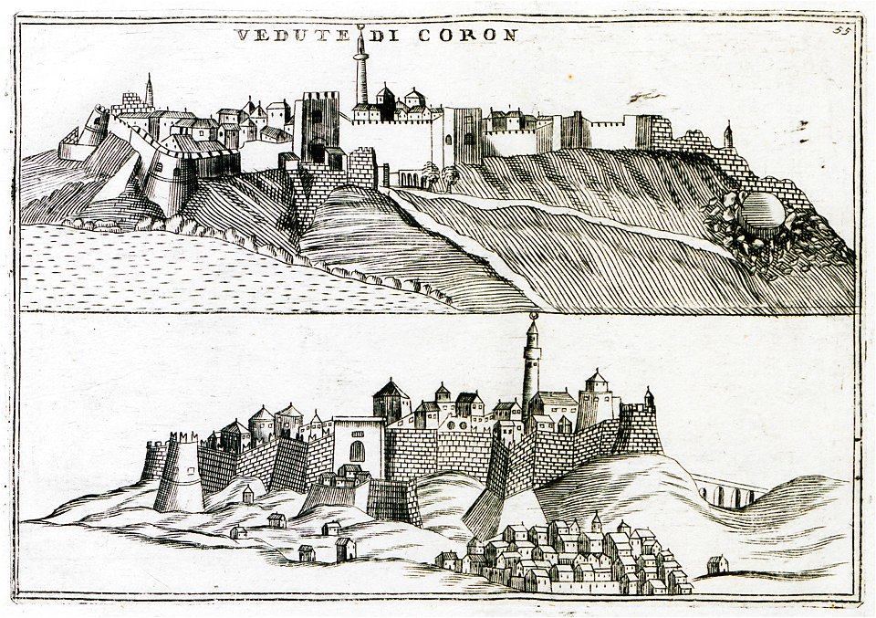
koroni
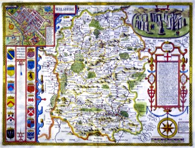
county maps of england by john speed
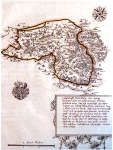
history of wiltshire
maps of the ore mountains
details of meilenblätter
maps by george h. walker and company
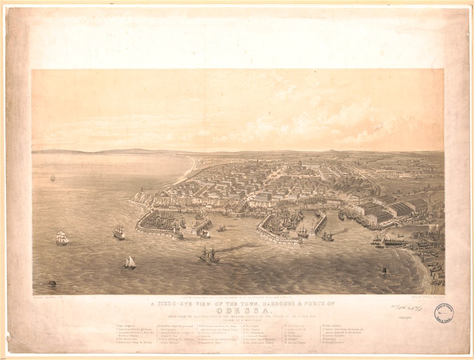
history of odessa
atlas of the russian empire (1792)
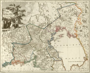
maps of wyborg governorate
charts and maps of the royal museums greenwich
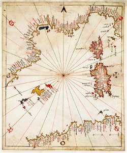
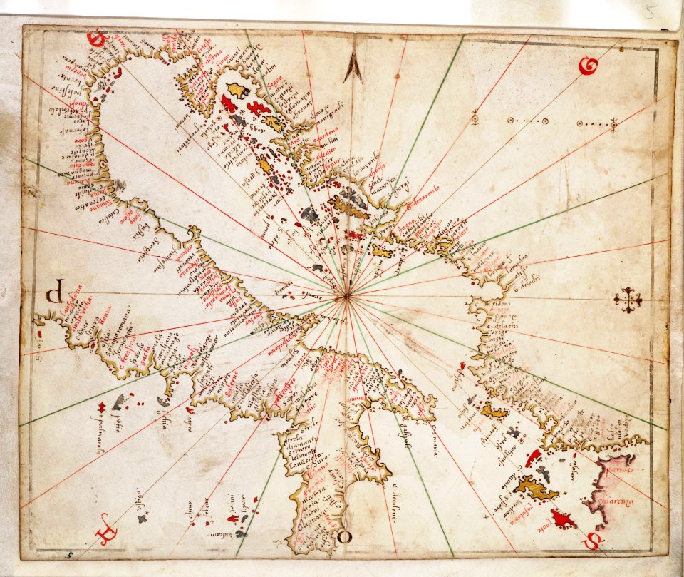
joan martines
geographical illustrations by coronelli
old maps of the peloponnese
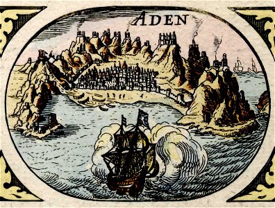
historical images of aden
asia noviter delineata
atlante veneto (raremaps.com) volume 1
old maps of south america
atlante veneto (raremaps.com) volume 1
old maps of mediterranean sea
atlante veneto (raremaps.com) volume 1
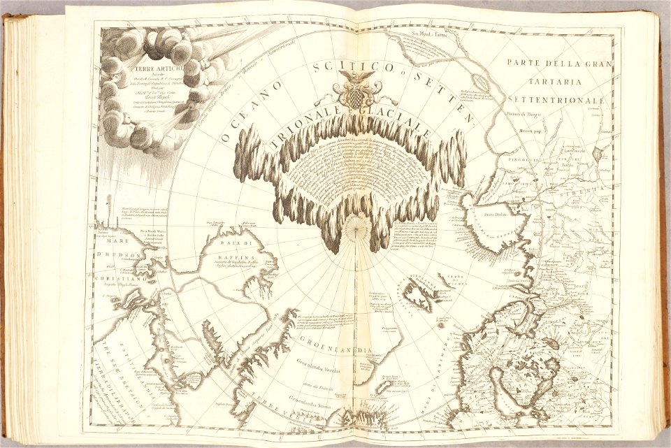
maps of the arctic ocean
atlante veneto (raremaps.com) volume 1
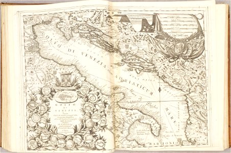
maps of the adriatic sea
atlante veneto (raremaps.com) volume 2
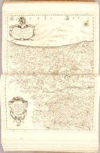
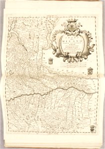
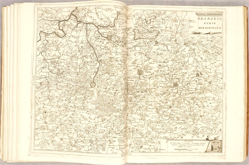
18th-century maps of lombardy
atlante veneto (raremaps.com) volume 2
1690s maps of the netherlands
atlante veneto (raremaps.com) volume 2
old maps of the peloponnese
atlante veneto (raremaps.com) volume 2
18th-century maps of lombardy
atlante veneto (raremaps.com) volume 2
1690s maps of the netherlands
atlante veneto (raremaps.com) volume 2
1690s maps of the netherlands
atlante veneto (raremaps.com) volume 2
1690s maps of the netherlands
atlante veneto (raremaps.com) volume 2
historical maps of mughal empire
atlante veneto (raremaps.com) volume 2
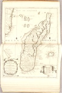
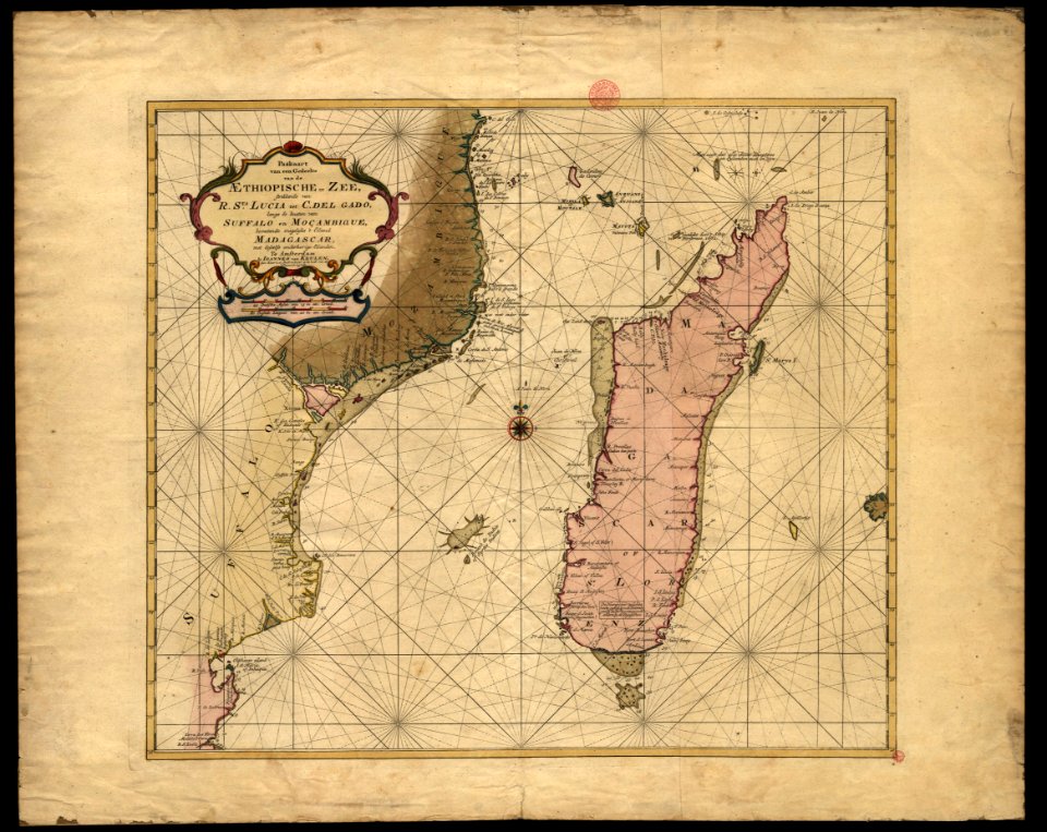
17th-century maps of madagascar
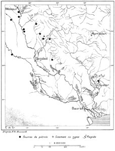
l’homme et la terre liseuse livre 2
maps of chaldea
l’homme et la terre liseuse livre 2
maps of chaldea
description des principales villes (1690)
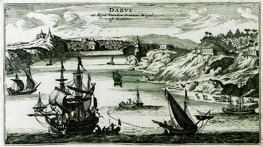
old maps of maharashtra
bibliothèque municipale de reims
rès. g 153
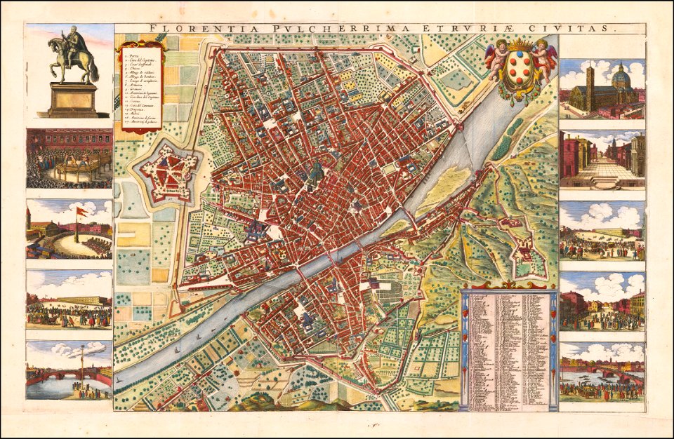
florence in the 1660s
wenzel hollar
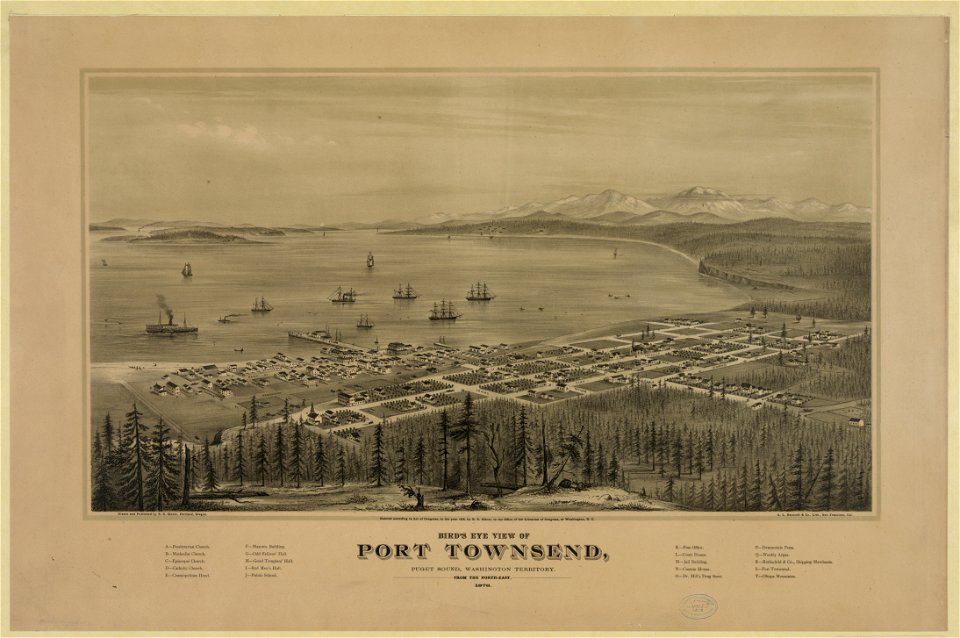
port townsend
washington
port townsend
washington
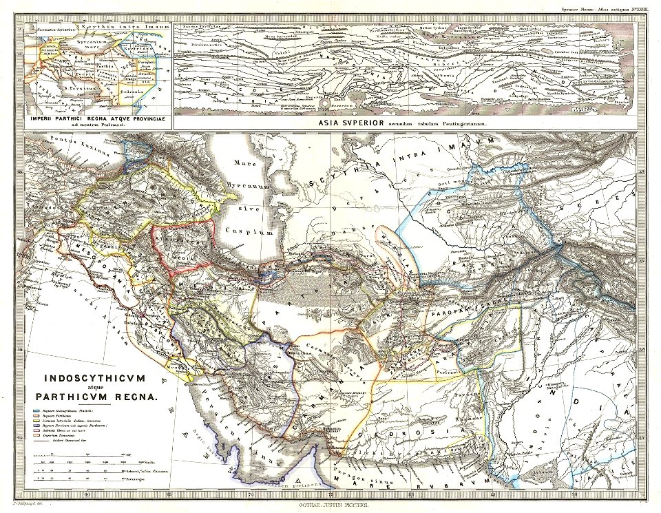
karl spruner von merz
1865 maps
bibliothèque municipale de reims
rès. g 152
waldburg (adelsfamilie)
coats of arms on maps
charts and maps of the royal museums greenwich
joan martines
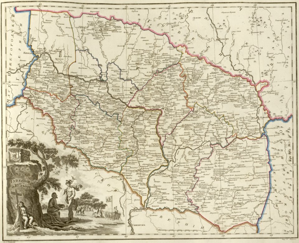
atlas of the russian empire (1800)
maps of kazan governorate
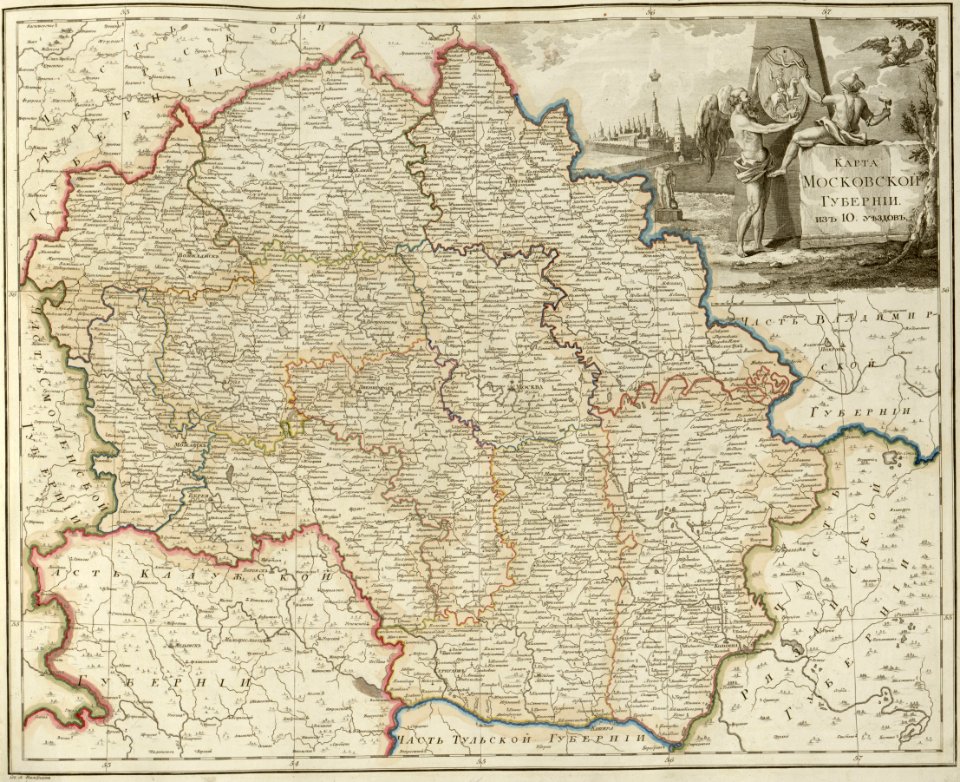
atlas of the russian empire (1800)
maps of moscow governorate
atlas of the russian empire (1800)
maps of pskov governorate
atlas of the russian empire (1800)
maps of vyatka governorate
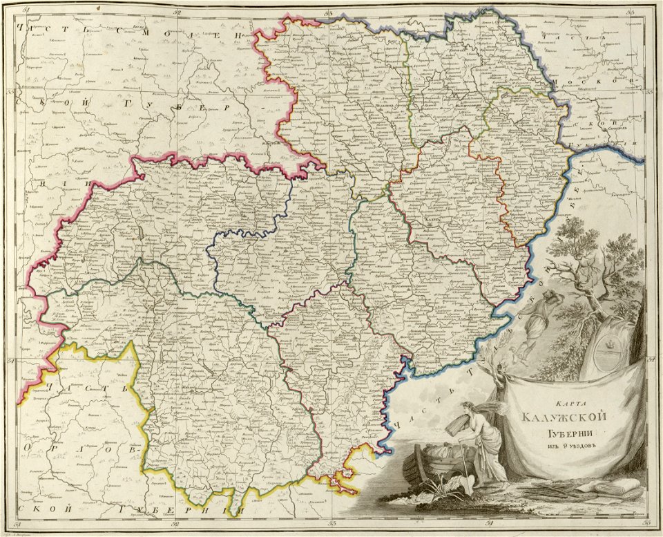
atlas of the russian empire (1800)
maps of kaluga governorate
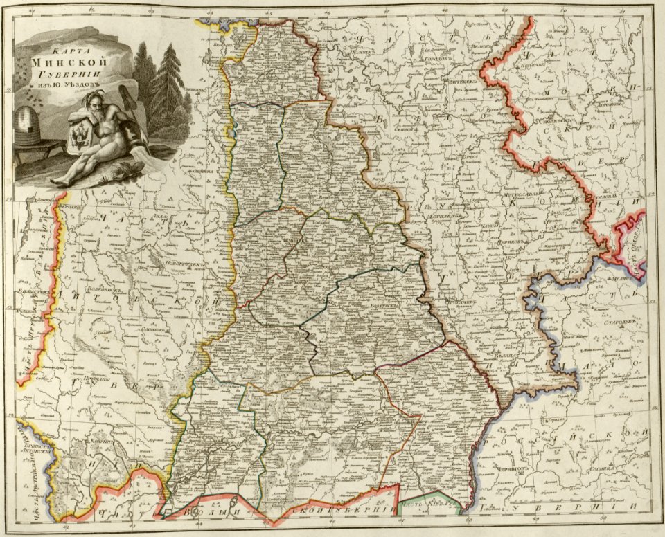
atlas of the russian empire (1800)
maps of minsk governorate
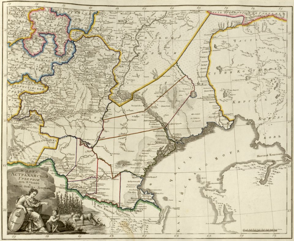
atlas of the russian empire (1800)
maps of astrakhan governorate
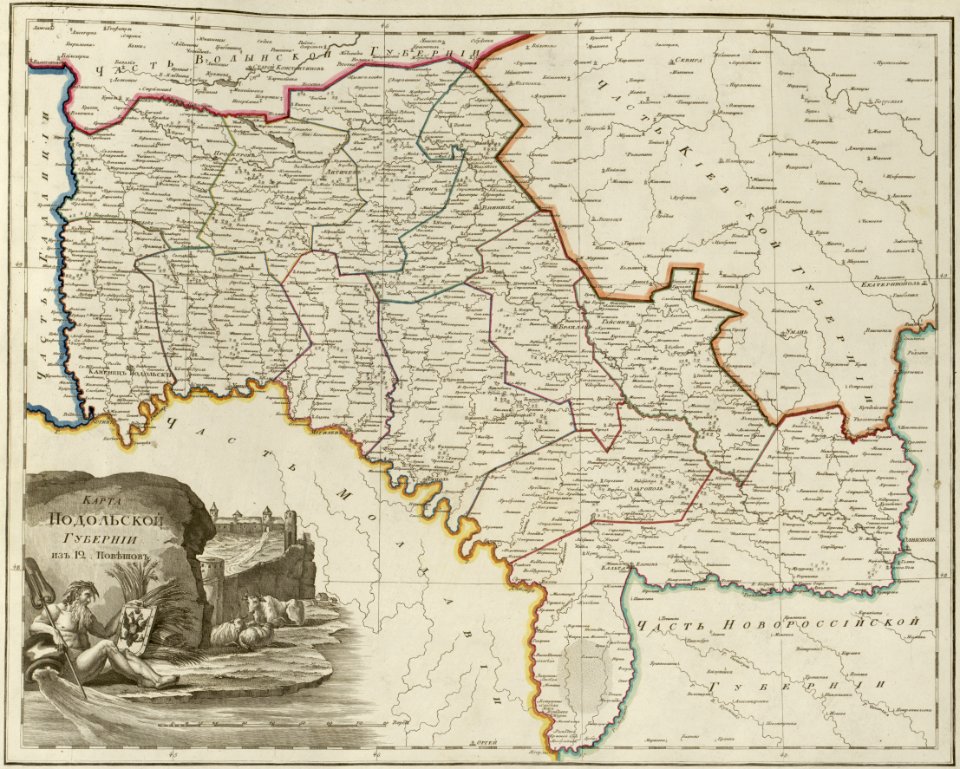
atlas of the russian empire (1800)
maps of podolia governorate
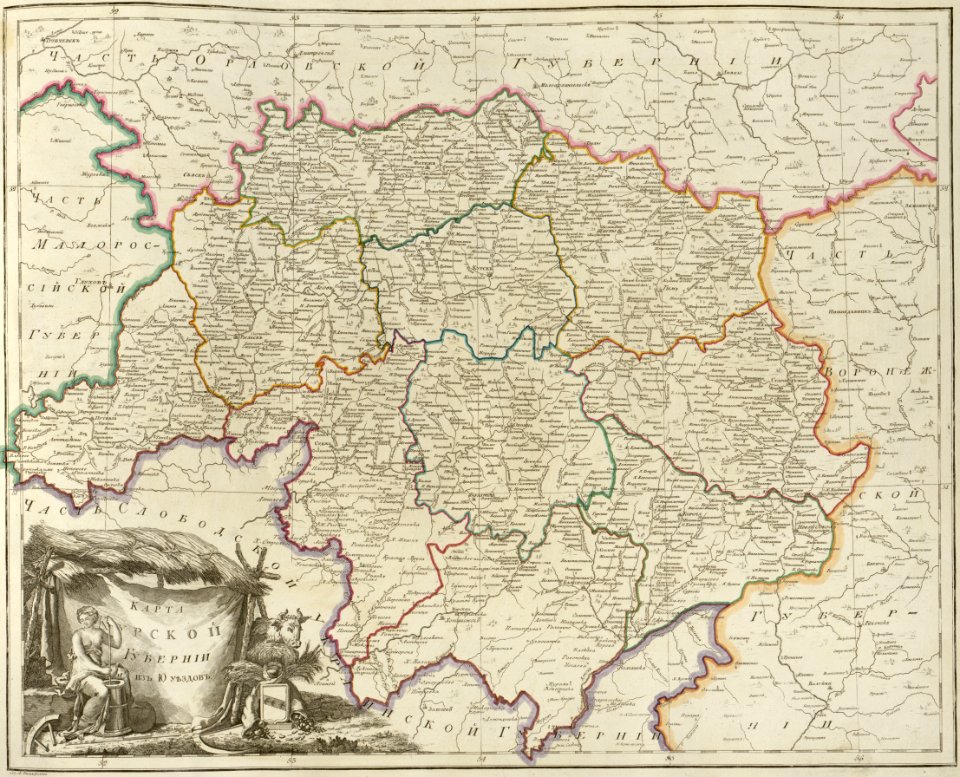
atlas of the russian empire (1800)
maps of kursk governorate
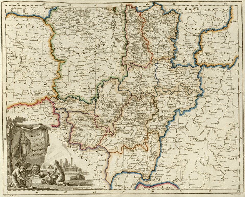
atlas of the russian empire (1800)
maps of tambov governorate
atlas of the russian empire (1800)
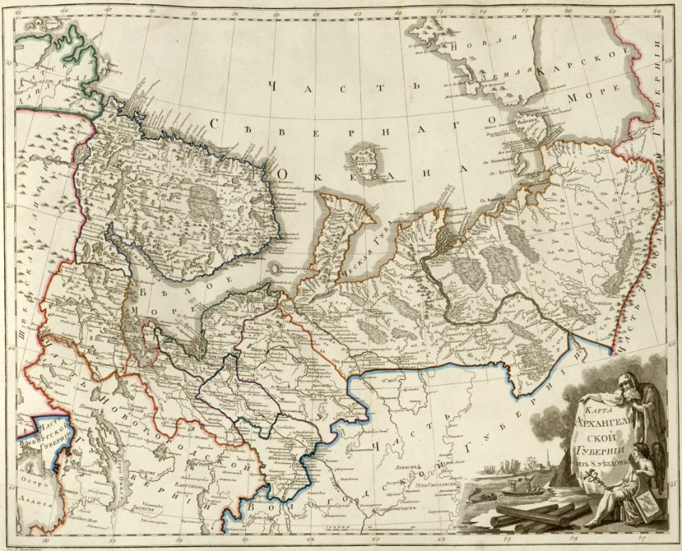
maps of arkhangelsk governorate
atlas of the russian empire (1800)
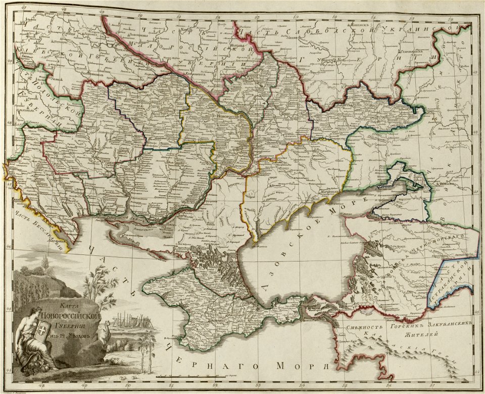
maps of novorossia governorate
atlas of the russian empire (1800)
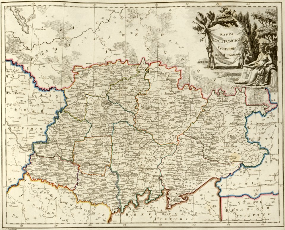
maps of kostroma governorate
atlas of the russian empire (1800)
maps of saratov governorate
atlas of the russian empire (1800)
maps of estlandia governorate
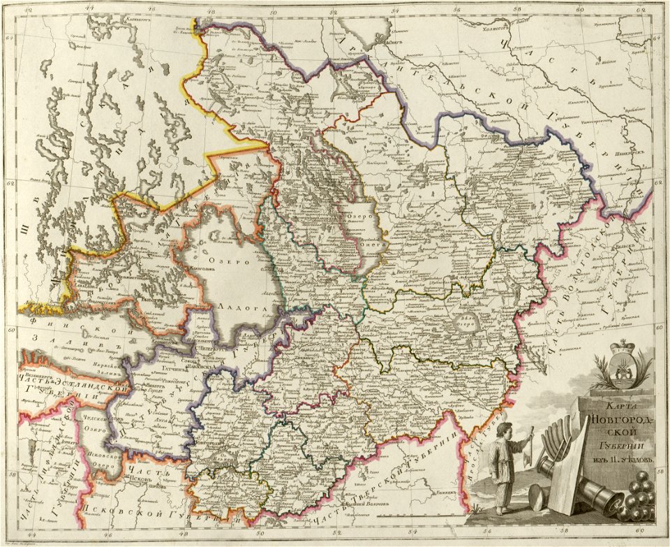
atlas of the russian empire (1800)
maps of novgorod governorate
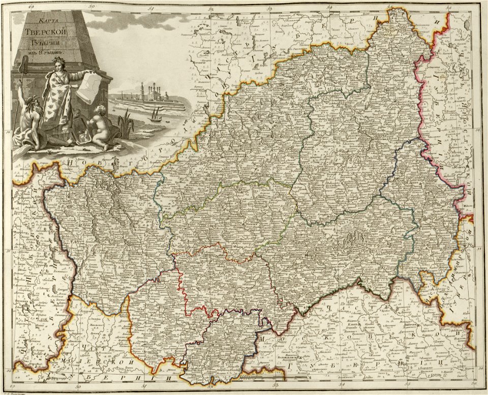
atlas of the russian empire (1800)
maps of tver governorate
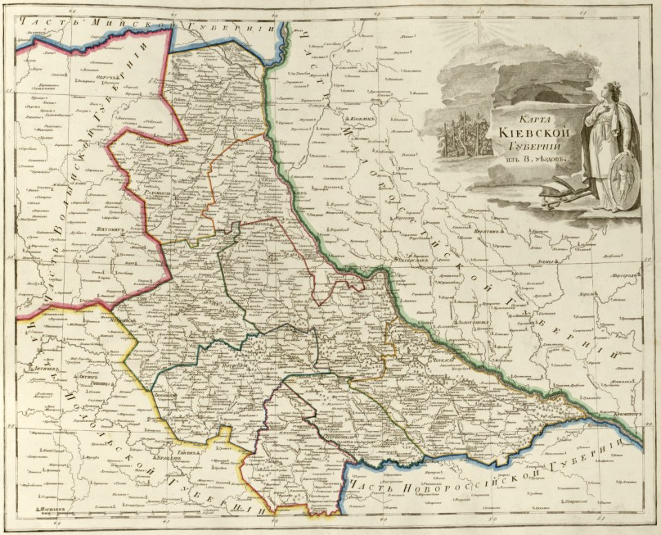
atlas of the russian empire (1800)
maps of kiev governorate
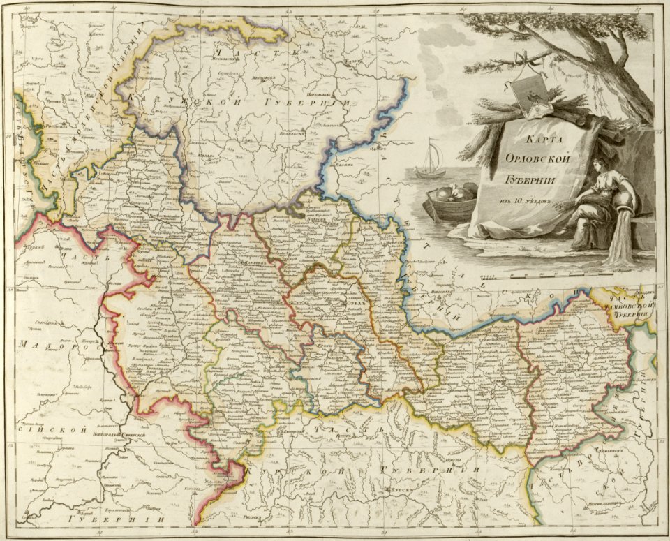
atlas of the russian empire (1800)
maps of oryol governorate
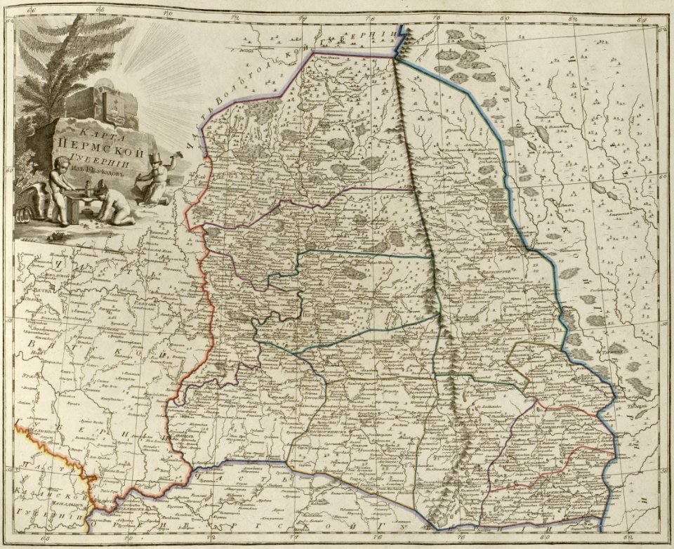
atlas of the russian empire (1800)
maps of perm governorate
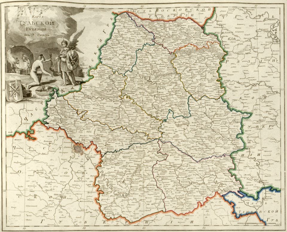
atlas of the russian empire (1800)
maps of tula governorate
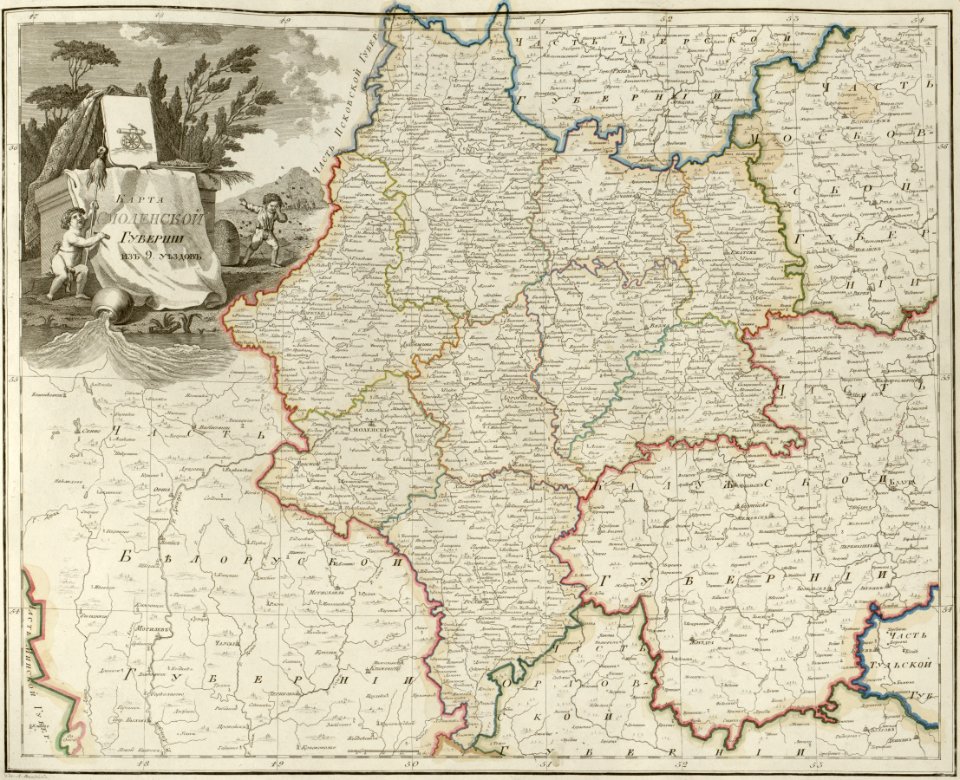
atlas of the russian empire (1800)
maps of smolensk governorate
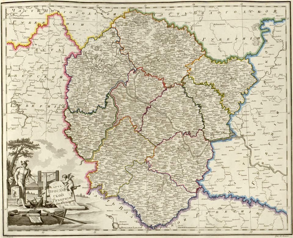
atlas of the russian empire (1800)
maps of yaroslavl governorate
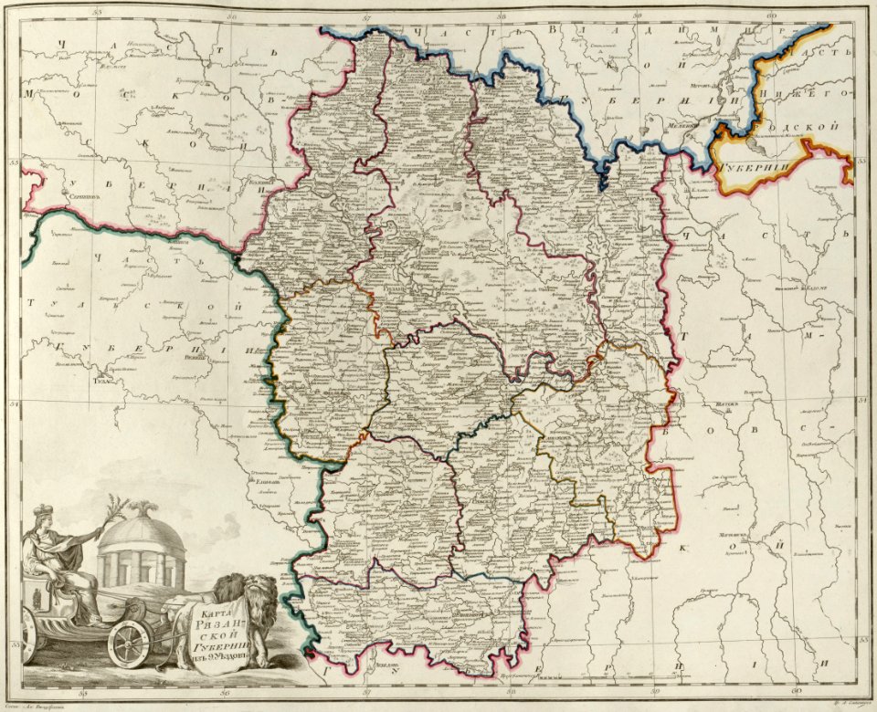
atlas of the russian empire (1800)
maps of ryazan governorate
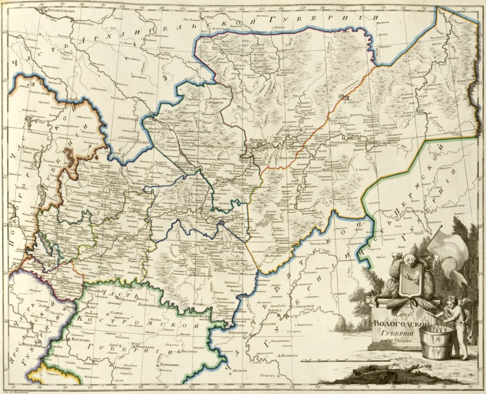
atlas of the russian empire (1800)
maps of vologda governorate
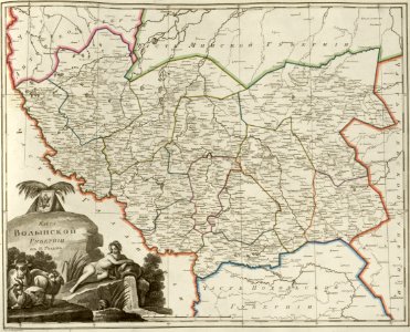
atlas of the russian empire (1800)
maps of volyn governorate
maps of the south orkney islands
voyage au pôle sud
maps of the south shetland islands
voyage au pôle sud
atlas of the russian empire (1800)
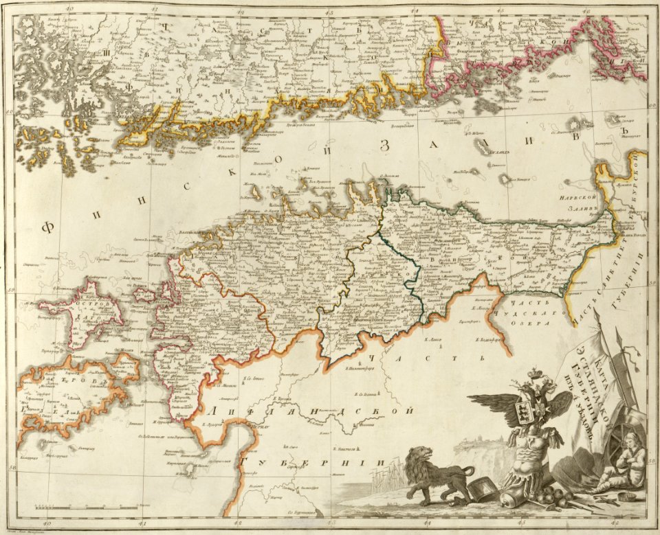
maps of wyborg governorate
atlas of the russian empire (1800)
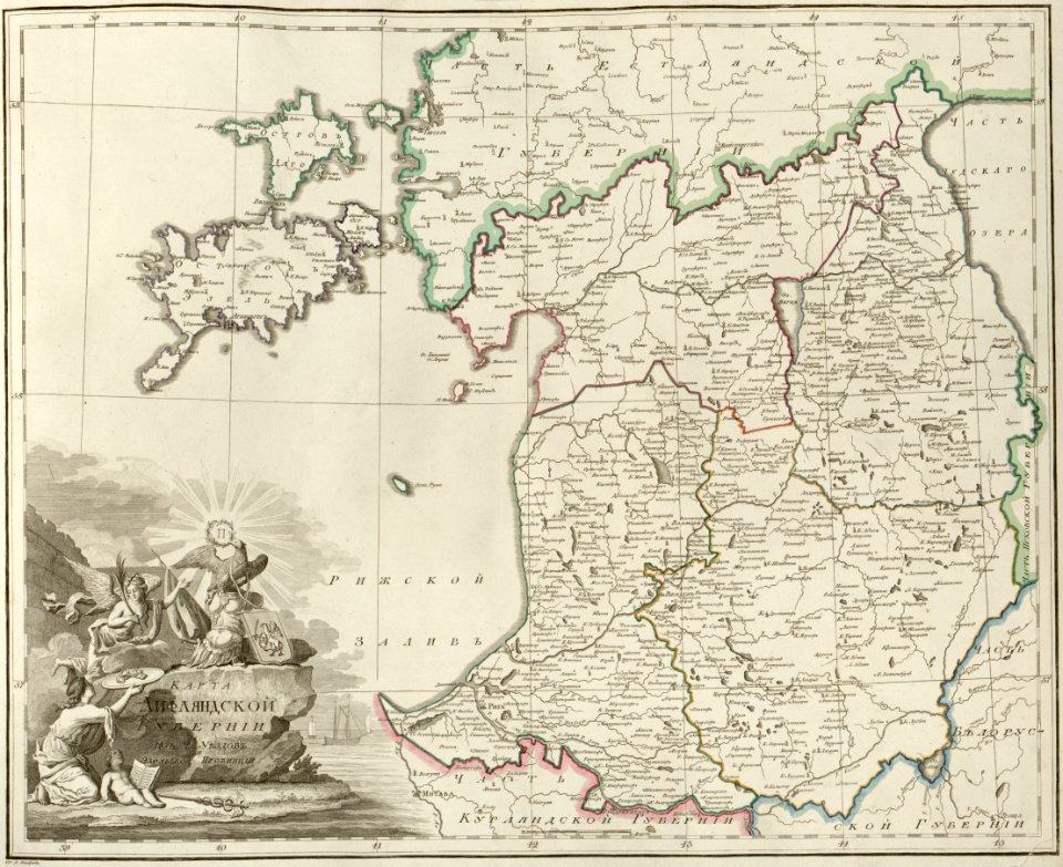
maps of liflandia governorate
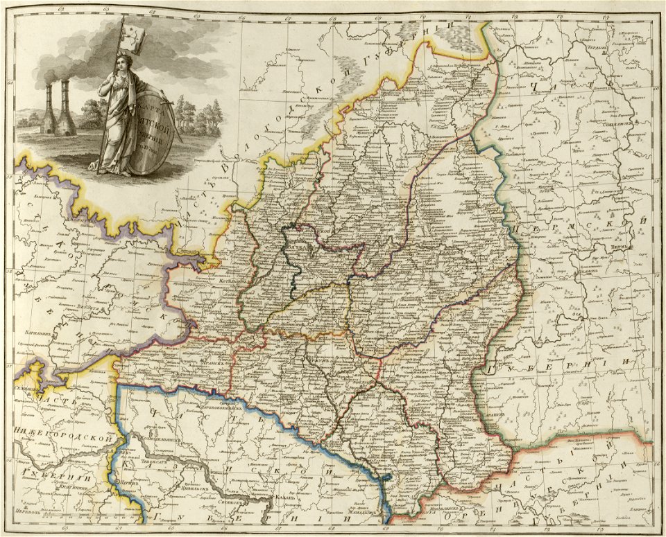
atlas of the russian empire (1800)
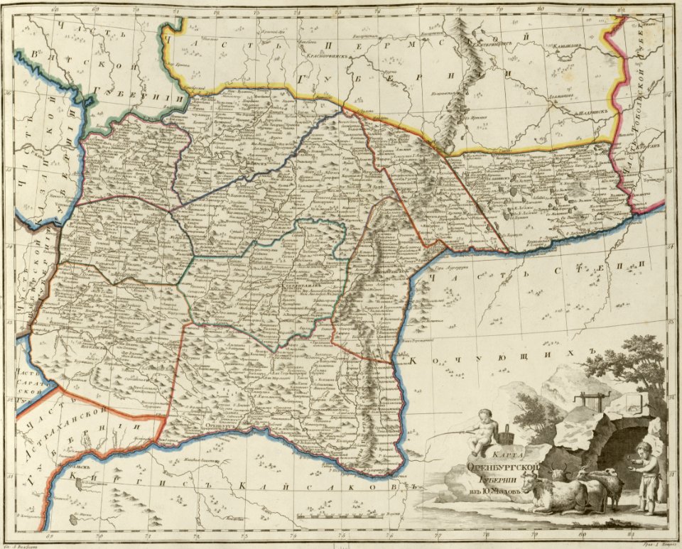
maps of orenburg governorate
atlas of the russian empire (1800)
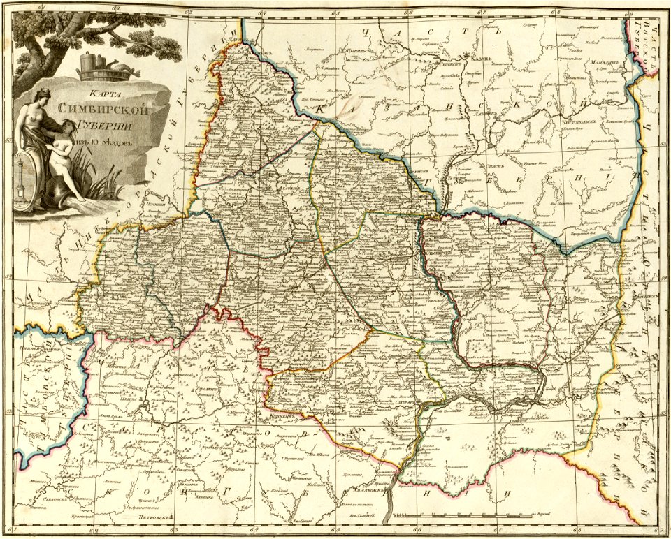
maps of simbirsk governorate
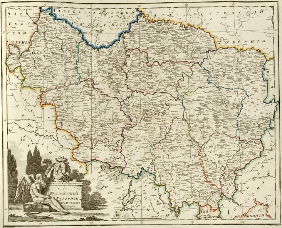
atlas of the russian empire (1800)
maps of vladimir governorate
old maps of istanbul
hartmann schedel
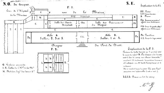
bagne de brest
france
johannes van keulen
copper engraving
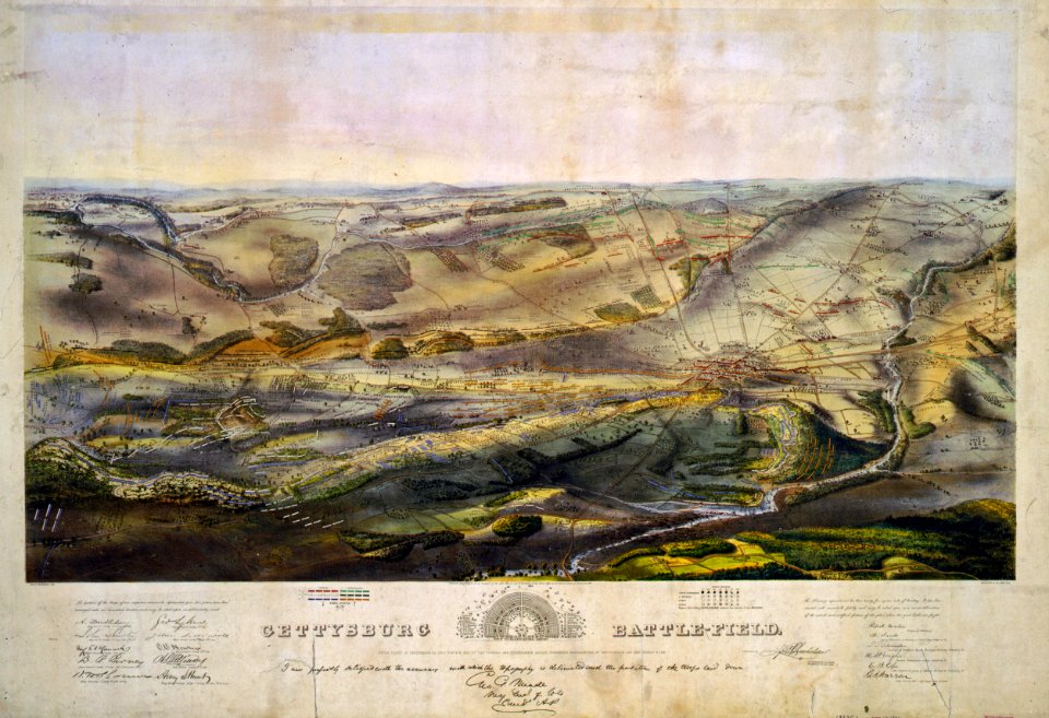
gettysburg battlefield
endicott & co.
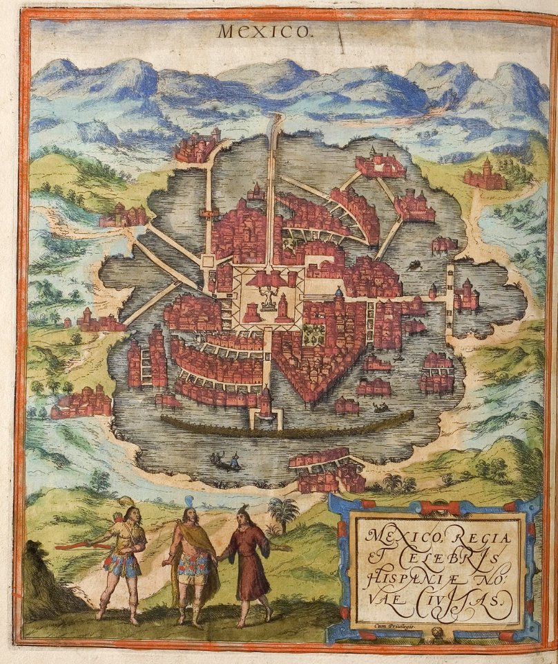
maps of the historic center of mexico city
braun & hogenberg
braun & hogenberg
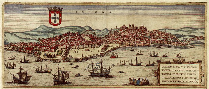
1572 in lisbon
braun & hogenberg
1572 engravings
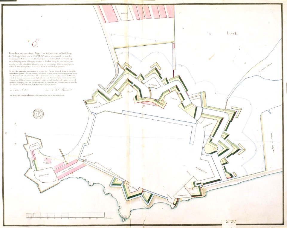
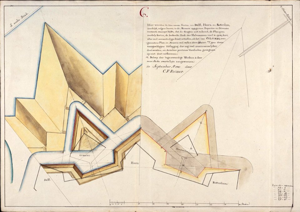
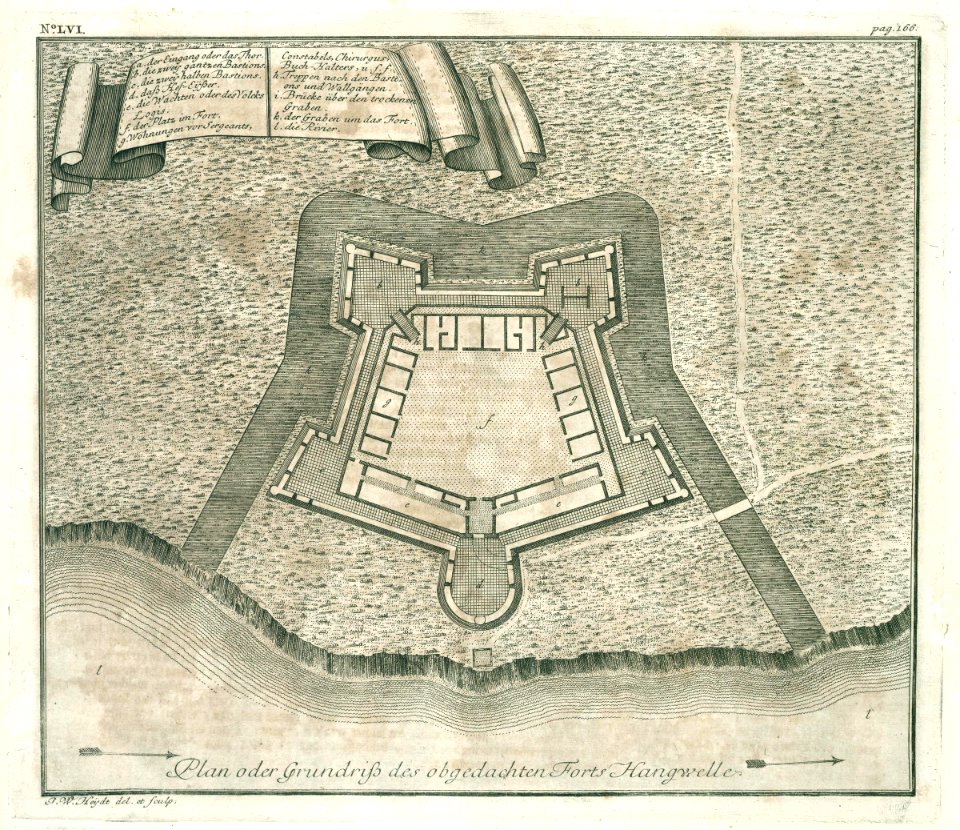
maps of the dutch east india company - sri lanka
1787
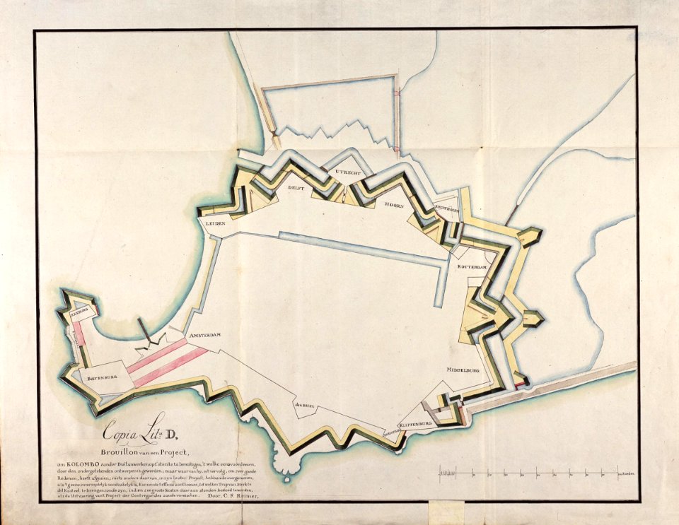
maps of the dutch east india company - sri lanka
1787
maps of the dutch east india company - sri lanka
1787
maps of the dutch east india company - sri lanka
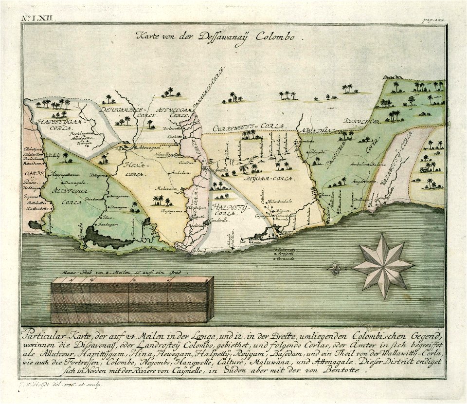
1680s
maps of the dutch east india company - sri lanka
1787
maps of the dutch east india company - south africa
1720s
moluccan
1614
itinerario (jan huygen van linschoten)
1596
maps of the dutch east india company - south africa
1682)
maps of the dutch east india company - south africa
1665
old maps of the dutch east india company - africa
1705
history of the dominican republic
1665
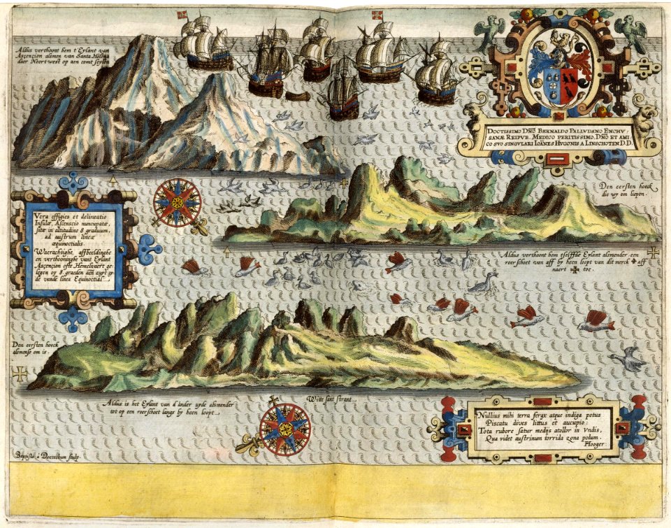
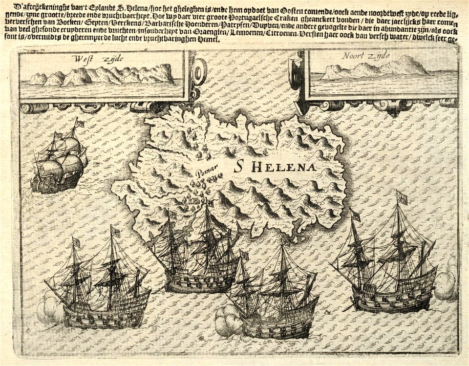
maps of the dutch east india company - st helena
1598
old maps of the dutch east india company - africa
1668
old maps of the dutch east india company - africa
1665
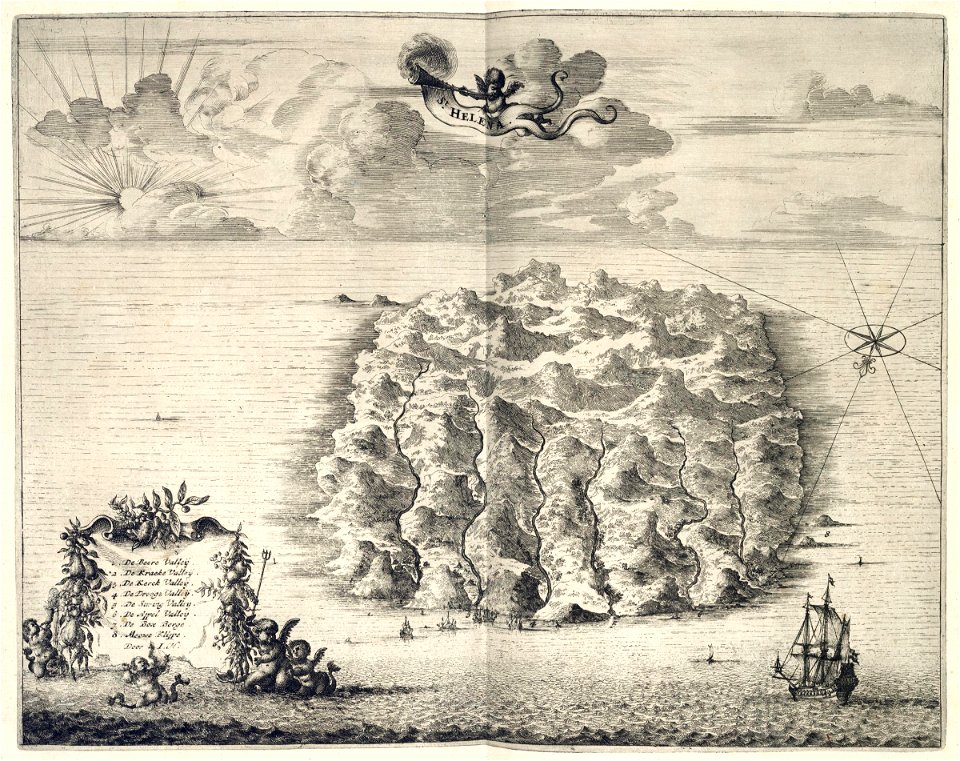
maps of the dutch east india company - st helena
1668
maps of the dutch east india company - south africa
1668
maps of the dutch east india company - sri lanka
1787
maps of the dutch east india company - south africa
1682)
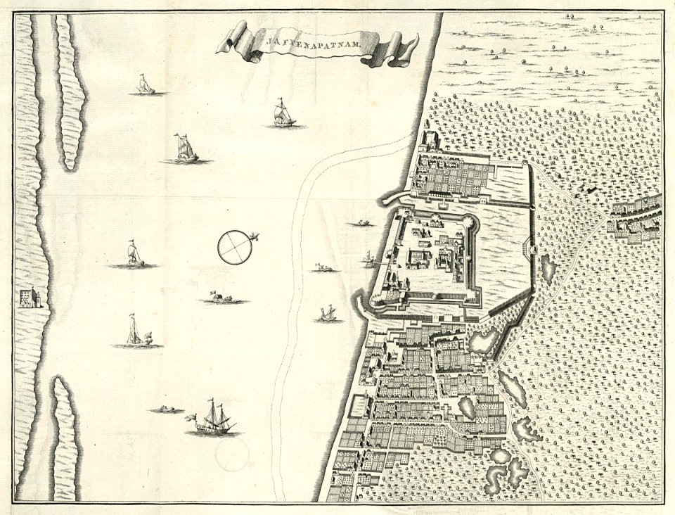
maps of the dutch east india company - sri lanka
1730s
maps of the dutch east india company - sri lanka
1736
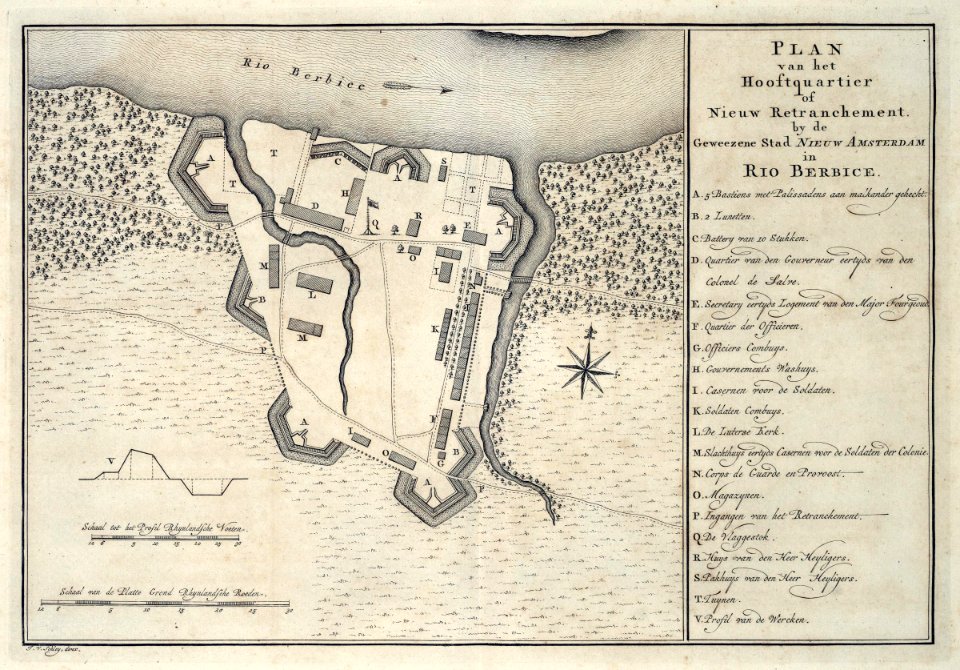
guyana
1770
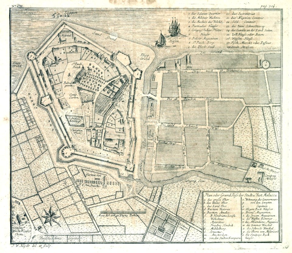
old maps of the dutch east india company - malaysia
1730s
8901 - 9000 of 40,209
Next page
/ 403